Whole Systems
Permaculture Design
Permaculture is an ethically based whole-systems design approach that uses concepts, principles, and methods derived from ecosystem observations, nature connected indigenous communities & scientific disciplines to create systems that provide for human and the earth’s needs through mutually beneficial relationships.
In a permaculture design, the relationships between the elements are of more importance than the elements themselves, at it’s core it is creating integrated systems that benefit each other and create synergistic abundance and stacked functionality. With a focus on increasing soil health and fertility, improving water retention capabilities, drought resistance and overall ecological resilience of your farm, garden or homestead, a whole systems permaculture design can identify appropriate land use strategies, plantings, earthworks and water systems that are vital for regenerating the land and achieving your personal and economic goals, avoid costly mistakes and help in the process of developing your property.
We work with clients at a range of scales, from backyard urban gardeners, suburban homesteaders, small acre farmers, on up to large municipal and community projects and organizations. Due to the importance of the fact that every project needs to be customized to fit its unique site & environment, we start every design process with an in person/onsite consultation to get to know you and your project’s needs, potential and limitations. Following this, we can decide if we are a good fit to work together on the project, and what sort of services are needed: consulting, assessment, mapping or design.
Our Main Design & Mapping Services include:
Base Maps, Conceptual Framework Designs & Full Design Plans
Base Maps
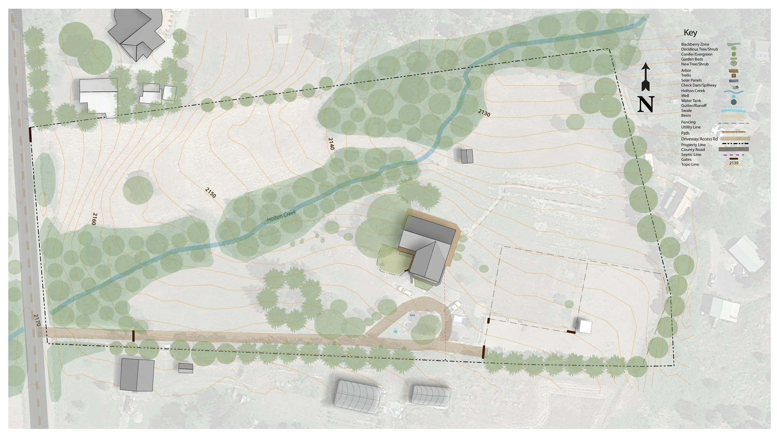
Base maps are the first step in the design process, in which we collect all the observable information about a site in a mapped form. As a standalone product, they are helpful for clients interested in doing design and planning work themselves and need help getting started. They are high quality digitized maps based off of information gathered from both online virtual sources as well as from on site observation & assessment visits. This includes satellite, lidar or drone imagery and data showcasing all existing infrastructure, structures, access roads, fencing, utilities, topographical contours, elevations, existing vegetation areas, waterways and ecosystem microclimates.
Base Map Fees: As every site is unique, prices for designs may vary depending on the different research needs, size of property, the scope of the project, site complexities, need for imaging or surveying etc. Contact us for a quote.
Conceptual Framework Designs
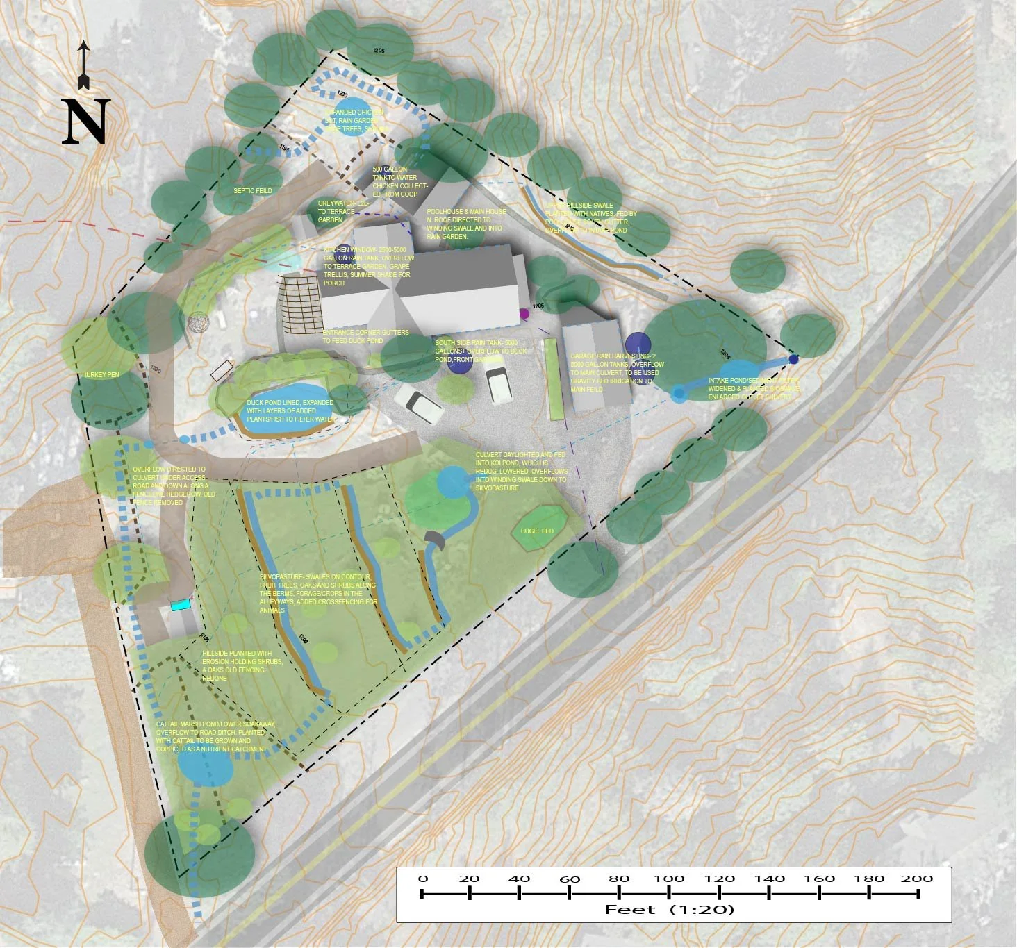
Based upon multiple in depth site observations, assessment and analysis visits, soil and water testing, as well as detailed concept planning conversation meetings with the client, a Conceptual Framework Design, goes beyond the base map and introduces the concept plan layers onto it. This includes a basic layout of potential water, infrastructure and plant & animal systems & elements as well as general notes of zone use consideration and stewardship planning suggestions.
Water Systems- Conceptual layout of areas for rainwater catchment systems, swales, raingardens, tanks, greywater etc.
Infrastructure- Conceptual layout of access roads and pathways, fencing, pergola, raised beds, solar power, greenhouses, structures etc.
Plant & Animal Systems- Conceptual layout of areas for production crops, annual garden zones, perennial hedgerows, food forests, chicken coops, livestock areas, silvopasture, agroforestry etc.
Conceptual Framework Design Fees: As every site is unique, prices for designs may vary depending on the different research needs, size of property, the scope of the project, site complexities etc. Contact us for a quote.
Full Design Plans
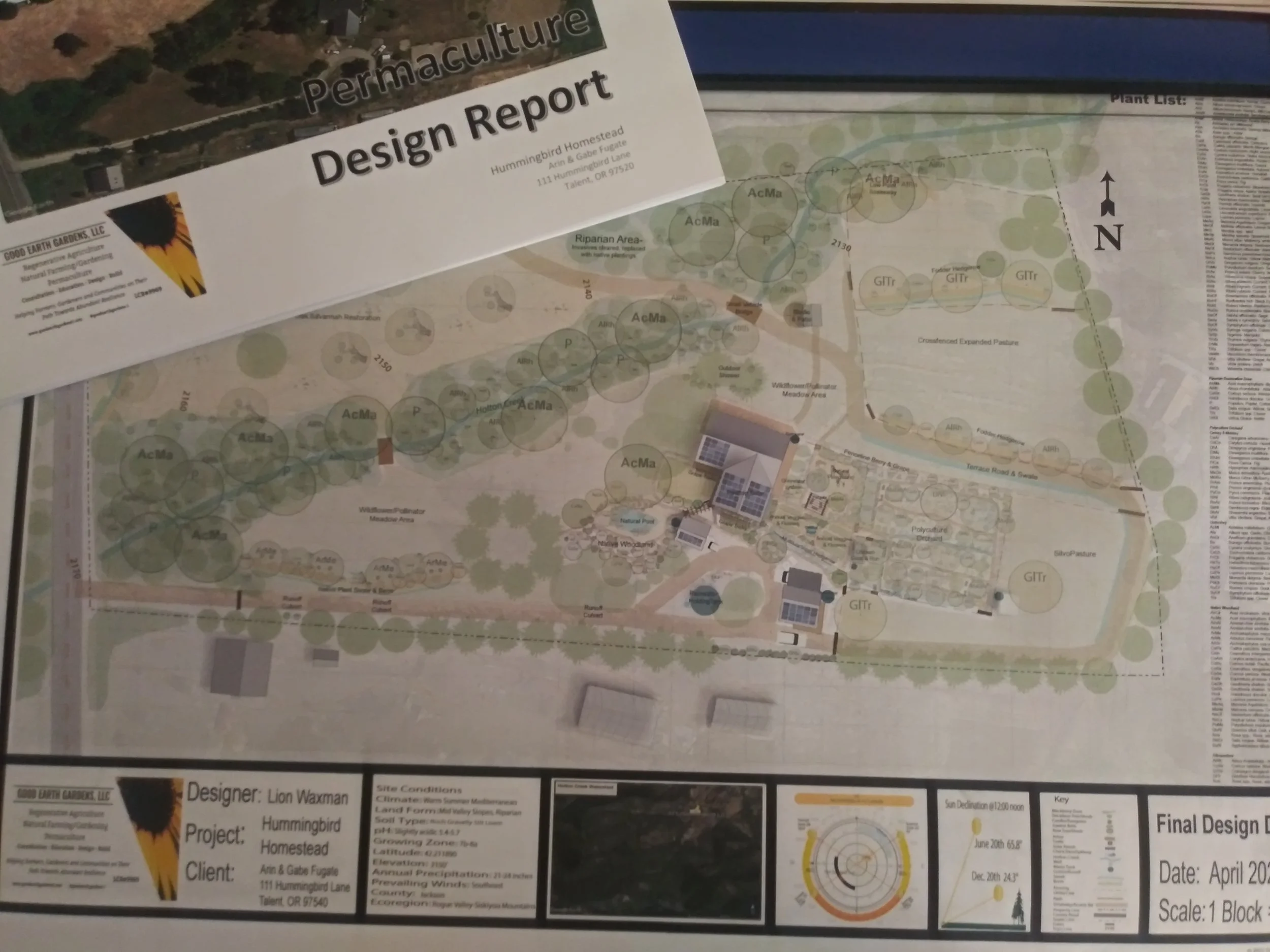
A Full Design Plan includes the first steps of the base map and framework concept plans and continues with integrating a detailed scaled layout of all key and secondary elements and systems. In addition to the base map and framework design, a full design plan includes:
In Depth Permaculture Design Report- A full report with all gathered assessment and analysis data- climate, weather patterns, zones & sectors, energy flows through site, hydrological information, topographical data, soil & water lab results and analysis, rainwater harvesting and water flow management assessments, as well as concept plan information, integrated element choice explanations and more.
Detailed Planting & Animal System Layout-including a complete labeled plant layout, plant list and quantities for all garden areas, grouped by major zones, and sizing of animal systems, structures, breeds, and rotation planning
Detailed Water & Infrastructure Layout- including sized water tanks, rain gardens, structures, fencing, pathways,
access roads etc.
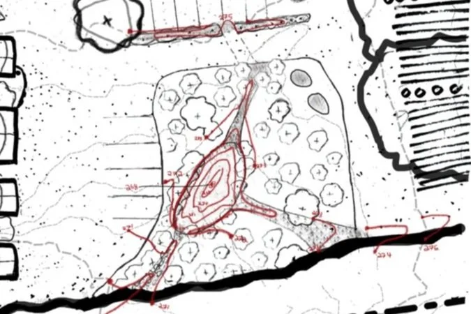
Site Grading Plan- for any necessary grading, earthworks and/or hardscape.
Implementation Planning - Basic estimated cost analysis for full phased implementation.
Full Size Design Draft Maps- High Quality Prints of full property maps & detailed zone close up maps.
Full Design Plan Fees: As every site is unique, prices for designs may vary depending on the different research needs, size of property, the scope of the project, site complexities, need for imaging, surveying etc. Contact us for a quote.


